On July 11, I considered skipping my intended hike. Hey, it happens to all of us. But when I saw high, wispy clouds, I convinced myself that it could be a good day to get a view of Mt. Rainier from Debbie’s View on Squak Mountain. Ajax picks up on clues quickly; he whined excitedly the night before when he saw my backpack. Committing to 52 unique adventures with him kept me engaged and interested for the past seven months. But what sent me to the car that morning was the idea of a view and of hearing varied birdsong. By visiting Squak’s Central Peak, we may have identified a new favorite mountain to explore.
Wrong Turn
As I drove past the Poo Poo Point trailhead off Exit 17, I realized that Cougar and Squak Mountain were accessible from Exit 15. Oops! I’d been on autopilot, listening to an audiobook about becoming more productive. Ironic, I know. Assuming May Valley Road would eventually lead me to something we could hike, I continued south and then turned west.
We pulled into the May Valley parking area to find 5-6 cars already dotting the lot. A solo trail runner stretched at her car. Cedar waxwings squeed near the Portapotties. I have never hiked on Squak before, so I figured we’d take our chances. If not than Debbie’s View and Margaret’s Way (the westmost trailhead, 6.5 miles with 1500′ gain), we’d find something else for our 48th ramble.
Benefits of May Valley Trail
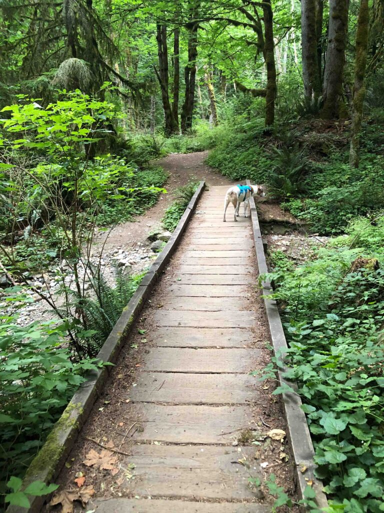
From the May Valley Trailhead, we followed signs for Central Peak (6.6 miles with 2,320’ gain). My auto-pilot mistake resulted in finding an even more appealing option than West Tiger 3 (5 mi. 2100′ gain).
On our ascent, we encountered only three people: a woman and her dog (who admitted she never sees anyone on that trail, and we’d have the upper mountain to ourselves) and two solo trail runners. The May Valley Trail on the south side of Squak gets very little highway noise. The mountain has not been logged like Tiger, and we found plenty of opportunities to create our own adventure. The only drawback this time of year is the lack of running water. Fortunately, I carry plenty for Ajax although he prefers streams.
Solitude and Quiet
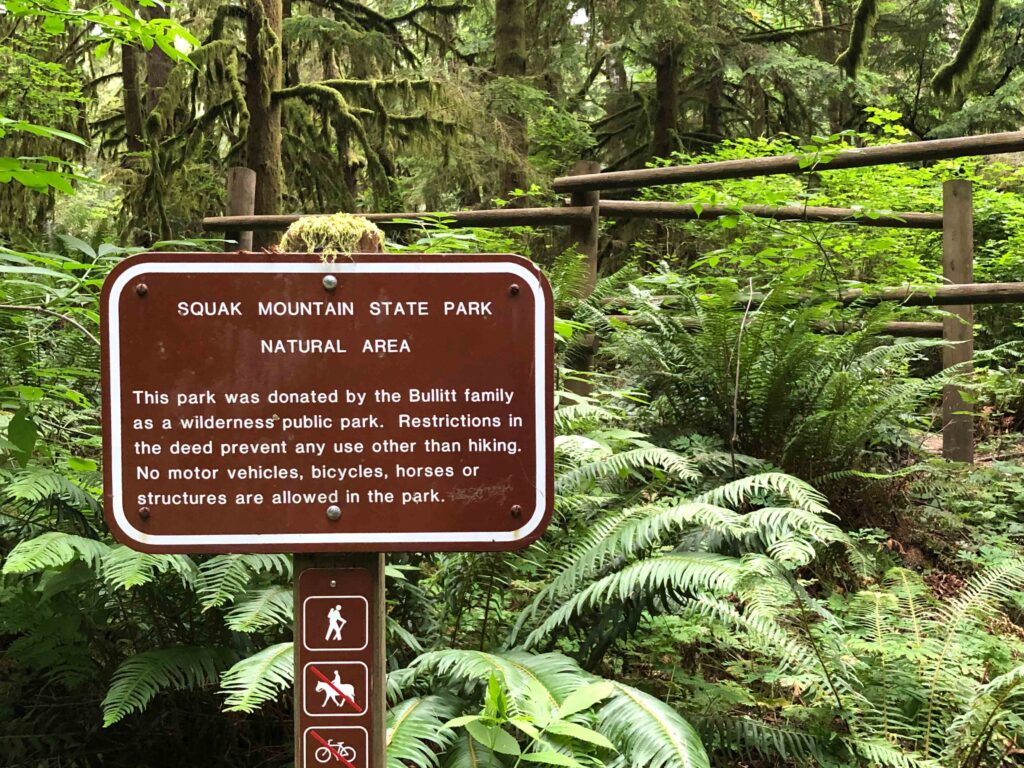
The May Valley trail is lovely, lush, green, and well-signed. I did some research afterward to find out more about the Bullitt Family who once owned much of the land and donated it to the state as a wilderness public park. I don’t often learn about the history of a place ahead of time (especially if I “wing it”!) but in this case, I was curious and wanted to know more.
On our solitary journey, we heard 22 bird species, including a great horned owl, downy, hairy, and pileated woodpeckers, a Steller’s jay (who, interesting fact, are particularly fond of eating baby hummingbirds!), Swainson’s thrushes (who sing my favorite birdsong), Cedar waxwings (the masked “raccoons” of the bird world), brown creepers, and black-headed grosbeaks.
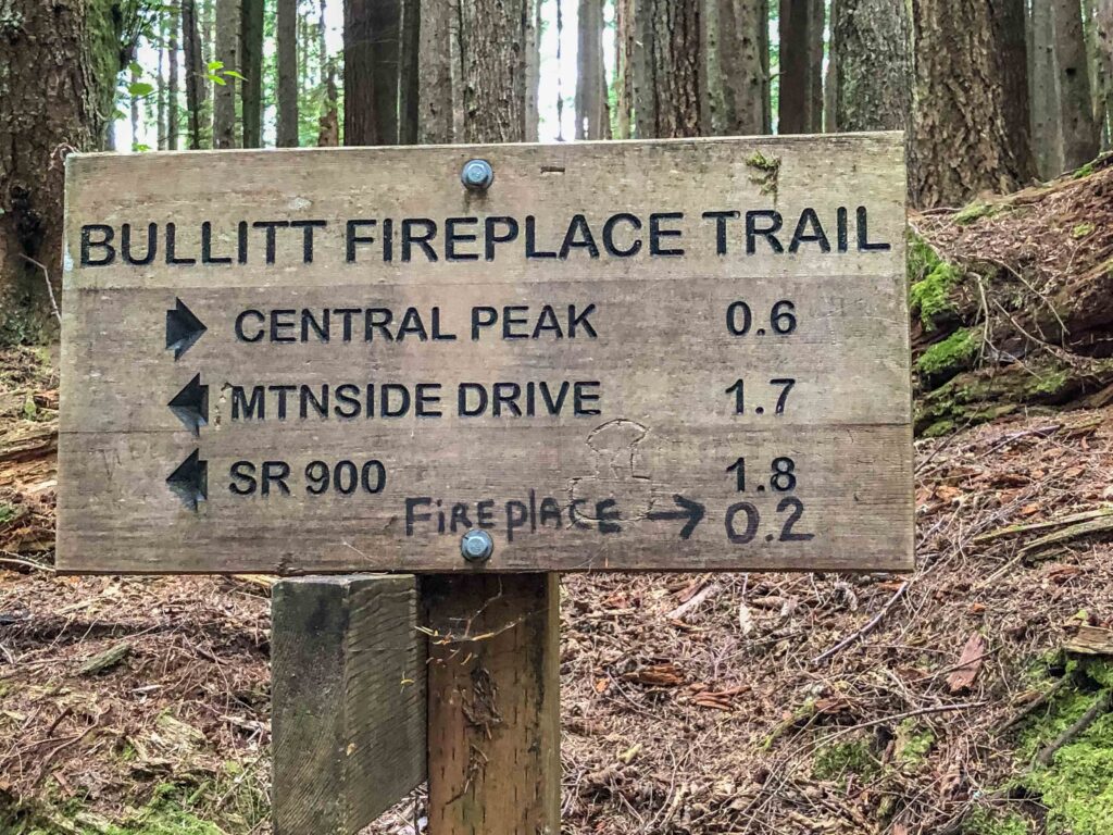
(By comparison, during a recent hot-weather visit to Snow Lake, we encountered so many people that I only heard eight species.) I also shot 53 photos including trail signs, acting as breadcrumbs that could help us navigate back to our car.
Squak Mountain: Bullitt Fireplace
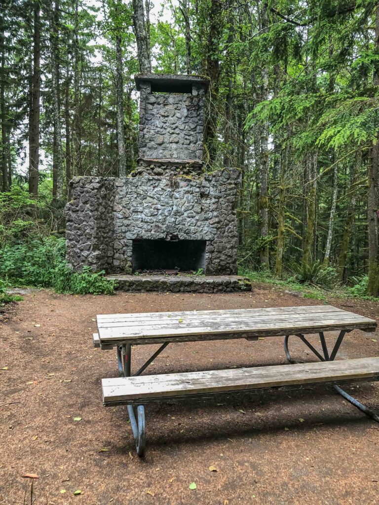
One of the reasons I love exploring is feeling like an adventurer and discovering curious new-to-me things. When I saw the sign for Bullitt Fireplace, I had no idea I’d actually find the remains of a stone fireplace, the remnant of a two-room vacation cabin built in 1952 by Stimson Bullitt. That sparked my imagination. How long did it take to build it? Where did they get the materials? Did they have to bushwhack or did they have crude roads to haul rocks and timber? How often did they use it? And why did vandals destroy it?
I did some digging later to learn more about Charles Stimson “Stim” Bullitt. He had the cabin built in 1952 as a weekend retreat and climbed in the Cascades until the age of 87. At 62, on his third try at North America’s highest peak, Bullitt summited 20,320-foot Denali. His family owned and managed Seattle’s KING radio and TV stations, and his extensive real estate holdings included 590 acres on Squak Mountain which the Bullitt family later donated to the state to form the nucleus of Squak Mountain State Park. Hiking gives me a growing appreciation for what this land looked like before settlers “conquered” and tamed it.
Squak Mountain: Chybinski Loop
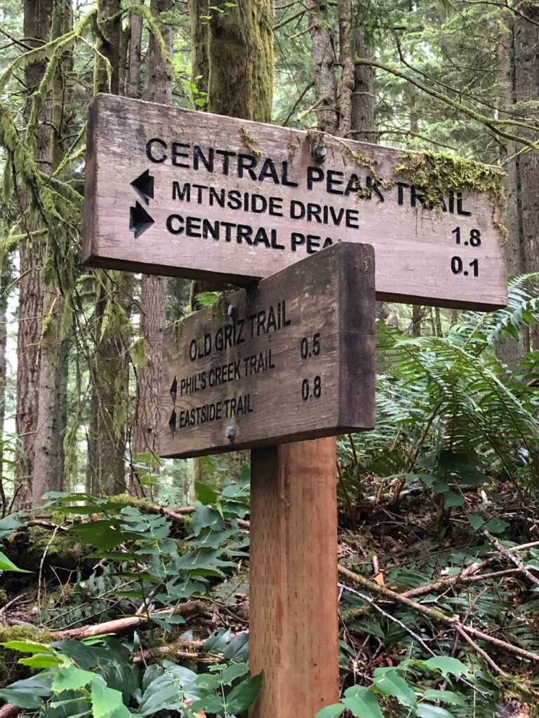
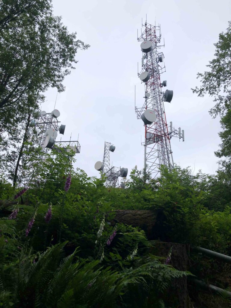
We continued beyond Central Peak, expecting to find a view somewhere, but we missed the power station and reached a sign for Phil’s Trail and Old Griz before backtracking. Determined to see what else we could find, we decided to visit West Peak. Perhaps it would have more of a view.
Chybinski Loop includes a very steep trail to a tiny sign for West Peak, where some sort of shack must have once stood but has since been flattened. I had the brilliant idea to find the hook-up of the loop instead of backtracking. “I’m not going back up that,” I thought. Famous last words.

Squak Mountain: Debbie’s View
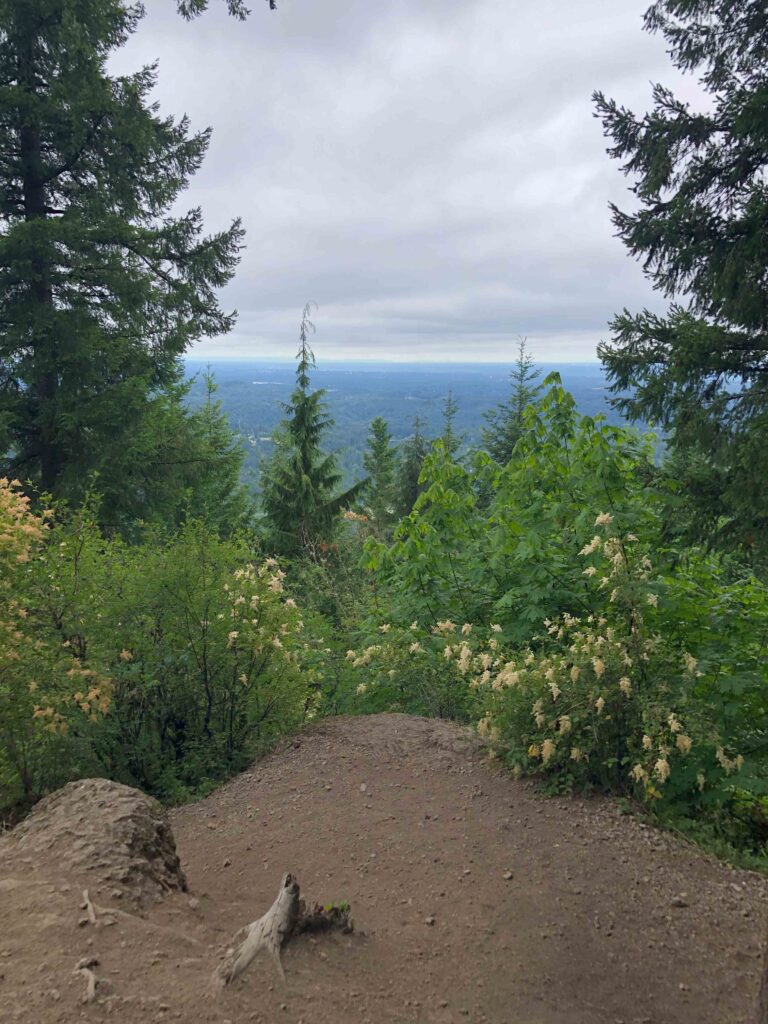
Eureka! Only .3 miles farther, we found signs for Debbie’s View, our original destination. As we added yet another extension, I did the mental math. Could we end up covering ten miles round trip? Unfortunately, the low clouds obscured any view we might have had of Mt. Rainier, so we didn’t linger. Then I got the bright idea to drop down to Margaret’s Way and return to May Valley along the perimeter trail.
Halfway down the wide, hardened trail toward Margaret’s Way, we encountered three women with a dog, followed by three others a few minutes behind them. Out of curiosity, I asked if they knew how much farther the perimeter trail was. One of the hikers – the one who spoke English – said I was mistaken, and I would need to backtrack to Bullitt Gorge. Bummer.
Hasty Retreat
Always question assumptions! Fortunately, on an overcast day, more mileage never hurts. We still had water and food, and the shade and clouds were keeping it cool enough for Ajax. We backtracked at high speed, quickly leaving them behind to regain our solitude. By that point, I no longer felt as confident in my assumption that Bullitt Gorge would return us to May Valley (it does.)
Faced with adding even more mileage if I turned out to be wrong, I chose the known path back. My commitment to “not go back up that,” referring to Chybinski Loop? It honestly wasn’t as bad the second time around.

Lesson Learned
The takeaway message from this outing was clear. If at first, you don’t succeed, try, try again. It was apparent when we elected to start from a different trailhead that we needed to be flexible and open to discovery. By staying open to possibility, I reminded myself that mistakes are opportunities, something that people with a growth mindset embrace. Maybe I could be developing a growth mindset after all.
Fortunately, we were able to link trails to reach our intended destination (Debbie’s View) with solitude, exploration, and birdsong along the way. It might not have been what we originally set out to do, but I’m happy I took the wrong turn.
Change Meets Year Three
Such a coddiwomple is a fitting metaphor to kick off the third year of this blog. When I started blogging on July 31, 2021, during the middle of a pandemic, I wasn’t sure where I was headed or if this “blog thing” would even work out.
Year One Recap
In starting my blog, I knew only that I wanted something meaningful, memorable, and good to come out of the dregs of COVID. Those first six months were a time of trial and error until I developed my voice, message, and style.
The second six months between February and August 2022 were my “heal from a broken right wrist” months. Change became more difficult but mandatory as I battled to rehab my right arm while maintaining a household and handling a busy season of online clients. But I kept going despite facing three major health challenges.
Year Two Recap
From August 2022 to January 2023, I confronted an empty nest for the first time. Our daughter attends a local university and likes coming home most weekends. So empty nest became a “partly empty nest” as we adjusted to five days without her, and two days with her.
To help me cope, I developed the Active Ajax Adventures challenge (52 nonrepeated greenspace rambles) which we successfully completed in July 2023. Now that she’s home for the summer, I find myself naturally, rapidly, and comfortably evolving and growing. But what will happen when she returns to college?
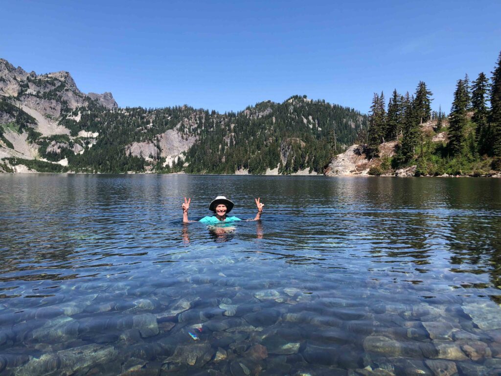
Year Three Projections
My grandiose plans for year three included diving deep into the “ABCs of Change.” But in sharing my ideas with my husband and writing partners, it became evident that I would be restricting myself — to the point of getting stuck before I ever started. Have you ever made so many rules or placed so many limits on yourself that you come to a complete standstill? Yup.
So instead, this year I will examine the mental aspects of change. To quote one of my wise writing partners, “To write about whatever moves or inspires me.” That might mean becoming more vulnerable, which terrifies me. I see far more growth potential there than in writing what I’ve come to see as my “safe” trip reports.

Join me in year three on a continued journey through change, to move forward and get unstuck.


It’s good you’re back. Thanks for sharing the story of the Bulliett Family. Very interesting man & hopefully I can be as good as he was and as long as him. It would be lovely to hear from him and the story of his shack. Amazing.
Do you use a GPS map, like all trails, when you hike?
I’m looking forward to reading on the topic of change, in the coming months.
Keep doing it and great photos as well.
Hi Silvie-Marie, thanks so much for your comment! Good to be back. I do not use a GPS map. Old school map/compass and instinct. I realize that limits me somewhat to known or well-marked trails and advance research, but for now that is just fine with me. I have a Garmin I just haven’t spent the time learning how to use it. Tech is my bugaboo but one of these days… and believe me, it will merit a blog post when it happens!! So resistant… Cheers and keep shooting.
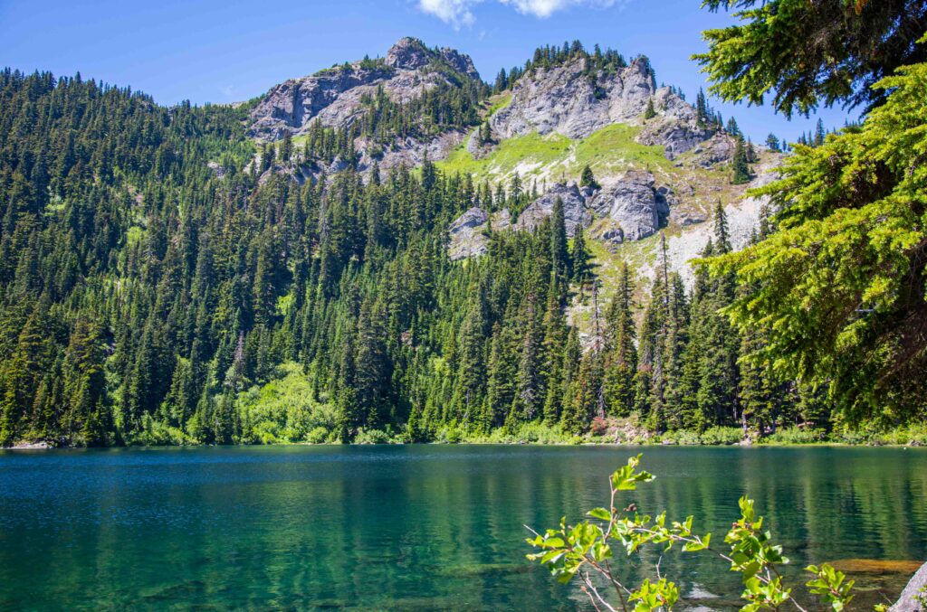
Thank you for this account of turning a “wront turn” situation into one full of spontaneous embraces of opportunities. The highlight of this post for me (very selfishly) is the “He had the cabin built in 1952 as a weekend retreat and climbed in the Cascades until the age of 87.” I will say “amen” to that and hope that I’ll be able to do the same. I couldn’t help but grin at the photo of Mirror Lake; I remember swimming in it on a very hot day before reaching Snoqualmie Pass and resupplying during a PCT section hike: HEAVEN! I am looking forward to more swimming in alpine lakes as a “hit the trail” in two weeks at Stevens Pass, heading north — your post is boosting my motivation and excitement for this new journey. Finally… I am very glad that there is a SEASON 3 of the Blog. Thank you!
So great to hear from you, Gerard! What a delight to have a few comments waiting for me on my return from walk number 9100 wiht the puppa (estimated! I’m not THAT kooky to count every single walk!) He says “RUFF!” by the way (dog for “hello you cool human!”) Yes, as we hiked in on the PCT I thought of your last two years’ of excursions on the trail and we head to Rachel Lake (Exit 62) on Thursday to get a taste of another alpine lake. Glad to keep sharing. Hike on and enjoy Stevens northward! I’ll be following if you let me know the start date and can cheer you on.
I am looking forward to year 3! Thank you for continuing the journey and sharing your adventures. Here’s to moving forward!
Thanks for your comment, Kristy! I’ve missed connecting with readers and can’t wait to share more insights, tips and tricks in coming months! Climb on!
Great blog, Court! Really enjoyed it and looking forward to your explorations in the coming year!
Thanks so much Susan! I appreciated our discussion this week, it really helped me clarify directions forward. Write on!